Strategic alliance enhances operational efficiency and decision-making in state and local governments.
March 13, 2024 – Atlanta, GA and Rochester, NY – Catalis, a leader in government software solutions, announced a strategic collaboration with EagleView to enhance state and local government services with advanced geospatial technology. This initiative combines EagleView’s renowned aerial imagery, software, and analytics with Catalis’ suite of government software solutions to improve efficiency in government property assessment, public works, courts, and other agencies.
“We’re excited to add EagleView capabilities to our portfolio of products and services,” said Steve Ashbacher, EVP, Catalis Tax & CAMA. “This strategic alliance will allow Catalis and EagleView to provide a seamless set of solutions to our state and local government clients.”
Key advantages for Catalis customers include:
- Streamlined Operations: Integration of EagleView imagery and data into Catalis software suites for property assessment and GIS management simplifies workflow, reducing complexity and the number of solutions managed by county administrators.
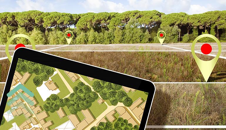
- Enhanced Property Assessment: Assessment professionals can now remotely evaluate properties, verify permits, and take precise measurements, leveraging high-resolution oblique and orthographic imagery. This advancement saves time and resources while ensuring accuracy.
- Improved GIS Management: GIS professionals are empowered with accurate, high-resolution orthogonal and oblique imagery, allowing them to better serve stakeholders and facilitating more efficient asset management.
Joe Oddi, Director of Strategic Partnerships at EagleView, emphasized the importance of the alignment, stating, “Our collaboration with Catalis significantly enhances the ability of government agencies to integrate aerial imagery into their daily operations. We’re committed to reducing the complexity of managing multiple software systems, and this advancement is a testament to that commitment.”The alliance between Catalis and EagleView is more than a simple integration of technologies; it represents a transformation in the way government entities manage and utilize geospatial data. Mutual clients will experience a marked improvement in their operational efficiency, benefiting from the streamlined processes and advanced imaging capabilities delivered through this enhanced offering.
About Catalis
Catalis is a transformative SaaS and integrated payments partner, empowering governments at all levels – municipal, county, state, and federal. With deep expertise, a proven track record, and innovative digital solutions, Catalis has facilitated the modernization of government and citizen engagement across the U.S. and Canada. For more information about Catalis and its range of solutions, please visit www.catalisgov.com.
About EagleView
EagleView is a leader in geospatial technology, providing solutions that transform the way our customers work. EagleView is renowned for its geospatial data and extensive imagery library which encompasses 94 percent of the U.S. population. EagleView’s unique technology portfolio comprises more than 300 patents, enabling it to offer highly differentiated software, imagery, and analytics products for multiple industries.
Media Contact:
Catalis
Eric Johnson, EVP Government & Legal Affairs
Email: Eric.johnson@catalisgov.com
Phone: 612-309-7111
EagleView
Kristina Libby, Public Relations & Communications
Email: mediarelations@eagleview.com
Phone: 207-215-4031