
CAMA for Government: A Comprehensive Guide for Mass Appraisal
Explore the dynamic world of software support operations. Delve into the challenges and strategies for achieving operational excellence in the ever-evolving tech landscape.

Explore the dynamic world of software support operations. Delve into the challenges and strategies for achieving operational excellence in the ever-evolving tech landscape.

Explore the dynamic world of software support operations. Delve into the challenges and strategies for achieving operational excellence in the ever-evolving tech landscape.
Celebrate National 529 Day with Catalis on May 29! Learn about the benefits of 529 plans, open an account, and explore our innovative solutions to secure your child’s educational future.

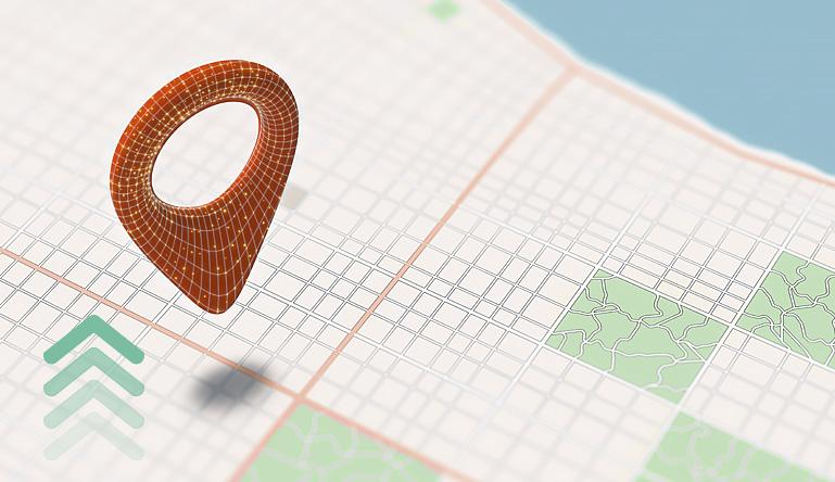
Geospatial technology is revolutionizing state revenue agencies by higher efficiency and data-driven decision-making. GIS gives insight into tax activities and relationships between people, places, and activities.
Explore how GIS and sketching tools are reshaping property assessment, offering unparalleled insights into valuation processes.

Discover how web-based central databases are transforming escrow payment management, enhancing accuracy, streamlining bulk processes, and offering cost-effective solutions with Catalis Tax & CAMA’s innovative Escrow Payment Management Solution.

Migrating a Computer-Aided Mass Appraisal (CAMA) system from on-premises to the cloud opens the door to a myriad of advantages for any assessment jurisdiction.

In today’s dynamic business landscape, government adaptation to new technologies and methodologies is not a choice but a necessity. Managing change effectively can be challenging, but with the right strategies, it becomes a smoother and more predictable process.

Centrally assessed properties encompass a range of assets that extend beyond municipal or county boundaries, such as utilities, railroads, pipelines, and other infrastructural components.
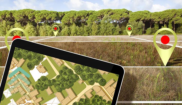
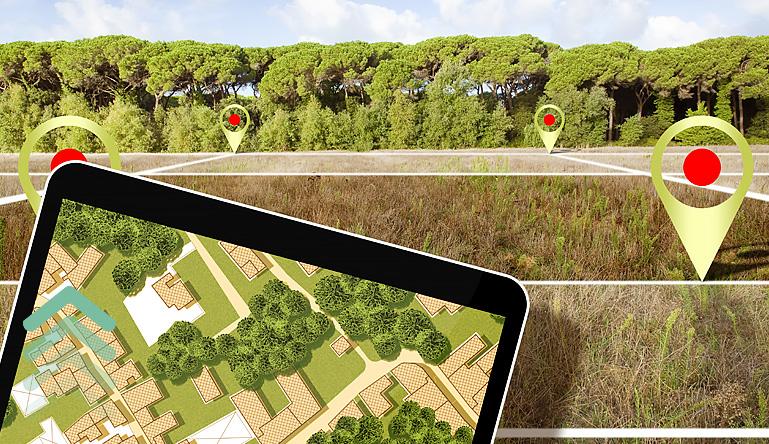
In state government today, the importance of parcel data cannot be overstated. It is widely acknowledged that a little parcel data is good, and a lot is great.