-
 Sales Manager, Catalis Tax & CAMA
With years of experience in property assessment and GIS technology, he helps government agencies modernize workflows.
View all posts
How GIS and Sketching Tools Enhance Assessment.
In the realm of property assessment and mass appraisal, leveraging technology is no longer an option—it’s a necessity. With the advancements of Geographic Information Systems (GIS) and advanced sketching tools, assessing and valuing properties has become more than just crunching numbers; it’s about visualizing data in meaningful ways that enhance accuracy, efficiency, and transparency.
Understanding the Landscape
Property assessment involves a multitude of variables—from land values and building characteristics to market trends and zoning regulations. Amidst this complexity, GIS emerges as a powerful tool, enabling assessors to spatially analyze data and gain valuable insights into property valuations.
The Role of GIS
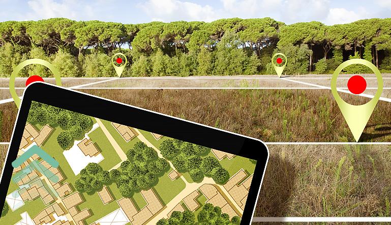
GIS technology allows assessors to overlay various data layers onto geographic maps, providing a spatial context for property assessment. By visualizing property boundaries, land use patterns, and environmental features, assessors can make more informed decisions about property values.
Moreover, GIS facilitates the identification of spatial relationships and trends, enabling assessors to detect patterns and anomalies that might otherwise go unnoticed. Whether it’s analyzing neighborhood trends or assessing the impact of environmental factors on property values, GIS serves as an essential component of modern property assessment. Incorporating GIS into every aspect of the assessment process is no longer an added luxury.
Integrating Sketching Tools
While GIS provides a very tangible view of property data, sketching tools offer a more granular perspective, allowing assessors to visualize property characteristics and dimensions with precision. Advanced sketching programs enable assessors to create detailed sketches of properties, including building layouts, dimensions, and features.
Enhancing Accuracy and Efficiency
By integrating GIS and sketching tools into the assessment process, assessors can achieve unprecedented levels of accuracy and efficiency. GIS technology streamlines data management and analysis, allowing assessors to consolidate disparate datasets and extract meaningful insights with ease. When sketching applications are properly embedded in a CAMA system the “drawn” polygons are an accurate representation of the improvements on each parcel. This opens the door for services such as sketch geo-referencing and verification to identify erroneous data and facilitate the planning of corrective measures more easily.
Furthermore, sketching tools facilitate the documentation of property characteristics, ensuring that assessors have access to comprehensive information when determining property values. From residential homes to commercial developments, sketching tools enable assessors to capture the intricacies of each property accurately.
Promoting Transparency and Accountability
In addition to enhancing accuracy and efficiency, GIS and sketching tools promote transparency and accountability in the assessment process. By visualizing property data in a clear and accessible manner, assessors can foster greater public trust and understanding.
Moreover, by documenting property characteristics and valuation methodologies, assessors can provide taxpayers with insight into the assessment process, helping to mitigate disputes and inquiries. Ultimately, GIS and sketching tools empower assessors to conduct assessments with integrity and professionalism, ensuring fair and equitable property valuations.
Looking Ahead
As technology continues to evolve, so will the landscape of property assessment. From artificial intelligence and machine learning to augmented reality and virtual modeling, the possibilities for innovation are endless.
In an era defined by data-driven decision-making, GIS and sketching tools represent the forefront of modern property assessment. By harnessing the power of spatial analysis and visualization, assessors can unlock new insights, streamline workflows, and uphold the principles of fairness and accuracy in property valuation.
Conclusion
The marriage of GIS and sketching tools has revolutionized the assessment process, enabling assessors to see beyond the numbers and visualize property data in once unimaginable ways. As we continue to chart new territories in property assessment, one thing remains clear: the future is bright for those who embrace the power of technology to drive positive change.
The Catalis Enterprise CAMA Solution, encompassing GIS and advanced sketching tools, epitomizes a transformative approach to property assessment. By seamlessly integrating these technologies, Catalis redefines efficiency, accuracy, and transparency in valuation processes. Offering a comprehensive suite of valuation components, Catalis empowers assessors to navigate complexities with precision. From intuitive interfaces to flexible hosting, Catalis serves not just as a solution, but as a partner in progress, fostering success in an increasingly data-driven landscape. With Catalis, assessors embark on a transformative journey toward excellence, equipped with the tools and support needed for success in property valuation’s evolving domain.
Visit catalisgov.com/solutions for a comprehensive list of our government/public sector solutions.


